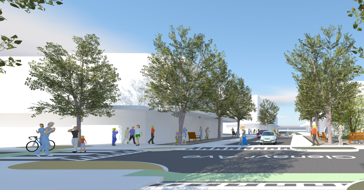
People walking, cycling, and pushing prams through Bondi Beach will soon receive unprecedented right-of-way protection as local planners move to eliminate a notoriously dangerous six-way traffic bottleneck.
A Fresh Approach to a Familiar Hub
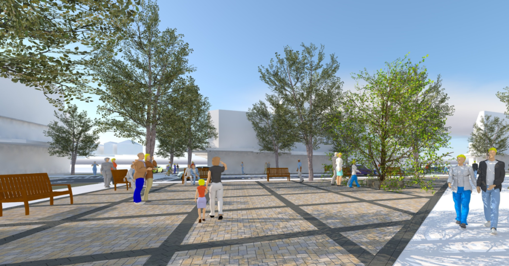
The sprawling junction where Hall Street, O’Brien Street, and Glenayr Avenue meet serves as a vital community heartland for local services and daily beachside life. While the intersection has been included in multiple identity studies over the past two decades—including the Six Ways project in 2007, a street upgrade in 2021, and the Destination Hall Street campaign in 2022—local leaders are now looking at the space through a modern transport lens.
Following an extensive local area traffic management study conducted by consulting firm GHD in November 2022, data regarding local crash histories, near-miss incidents, speed profiles, and vehicle volumes convinced planners that a complete structural realignment was necessary to protect the public and revitalise the communal space.
Weighing the Community Options
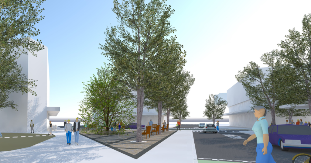
To jumpstart this transformation, council planners recently completed fresh traffic modelling based on real-world weekday peak-hour surveys collected in February 2025. Designers intentionally avoided using data from the absolute peak of the summer tourist rush to ensure the final infrastructure is not unnecessarily over-engineered for year-round residents. Two distinct concept designs are now sitting before the community for public feedback.
The first option completely shifts the traditional right-of-way by giving continuous priority to buses and general traffic moving between O’Brien Street and Glenayr Avenue. While this adjustment will cause minor delays for private cars navigating Hall Street, the broader efficiency gains are expected to slash overall average wait times across the entire intersection by 50 per cent. Conversely, the second option maintains the current traffic rules, meaning commuters on Glenayr Avenue will continue to face the same significant, daily delays they experience today.
Shifting the Transport Hierarchy
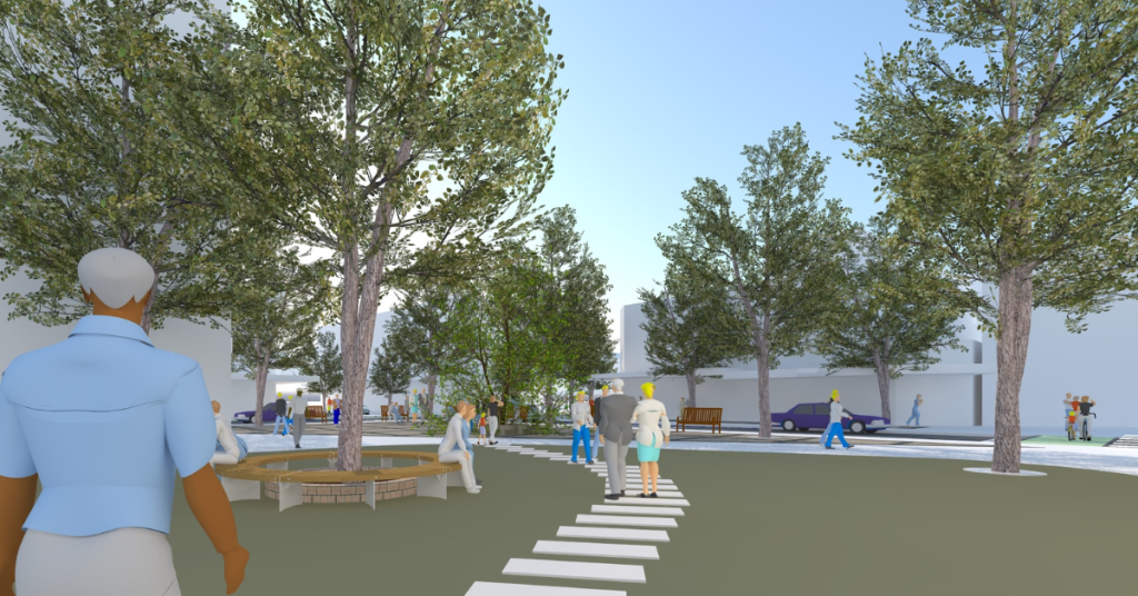
Both proposals represent a strict commitment to the council’s 2017 environmental and transit policies, which deliberately place active travel and public buses at the top of the local transport hierarchy. This framework explains why a traditional roundabout was completely ruled out during the early design phases, as planners determined that roundabouts create steep safety challenges for people walking, cycling, or rolling through the unique six-way layout.
Instead, designers are exploring the introduction of in-lane bus stops. Although waiting behind a stopped bus will cause brief, minor delays for drivers—comparable to waiting for a neighbour to parallel park—the setup dramatically improves bus reliability. Additionally, keeping buses in the active traffic lane actually increases the available kerbside space for regular car parking, which local officials believe will relieve street parking pressures and encourage more residents to stop and support the nearby Hall Street commercial shops.
Shape the Final Design
Local council representatives emphasise that this project is still in its infancy, which is why official cost estimates have not yet been drawn up or submitted to local representatives. Project coordinators are actively refuting claims that local businesses and residents have been left out of the loop, noting that this current feedback phase is an extension of a consultation process that originally began back in 2022. Officials stress that all community survey responses, written opinions, and stakeholder insights will be thoroughly evaluated to help refine the blueprints before any final funding decisions or construction votes are made by local councillors.
Published Date 27-May-2026